RSPO Thailand and Prince of Songkla University Elevate Standards through Strategic GIS Capacity Building Initiative
Over 95 technical professionals achieve proficiency in advanced geolocation and land-use mapping, strengthening traceability and compliance with RSPO 2024 Standards across the Thai palm oil sector.
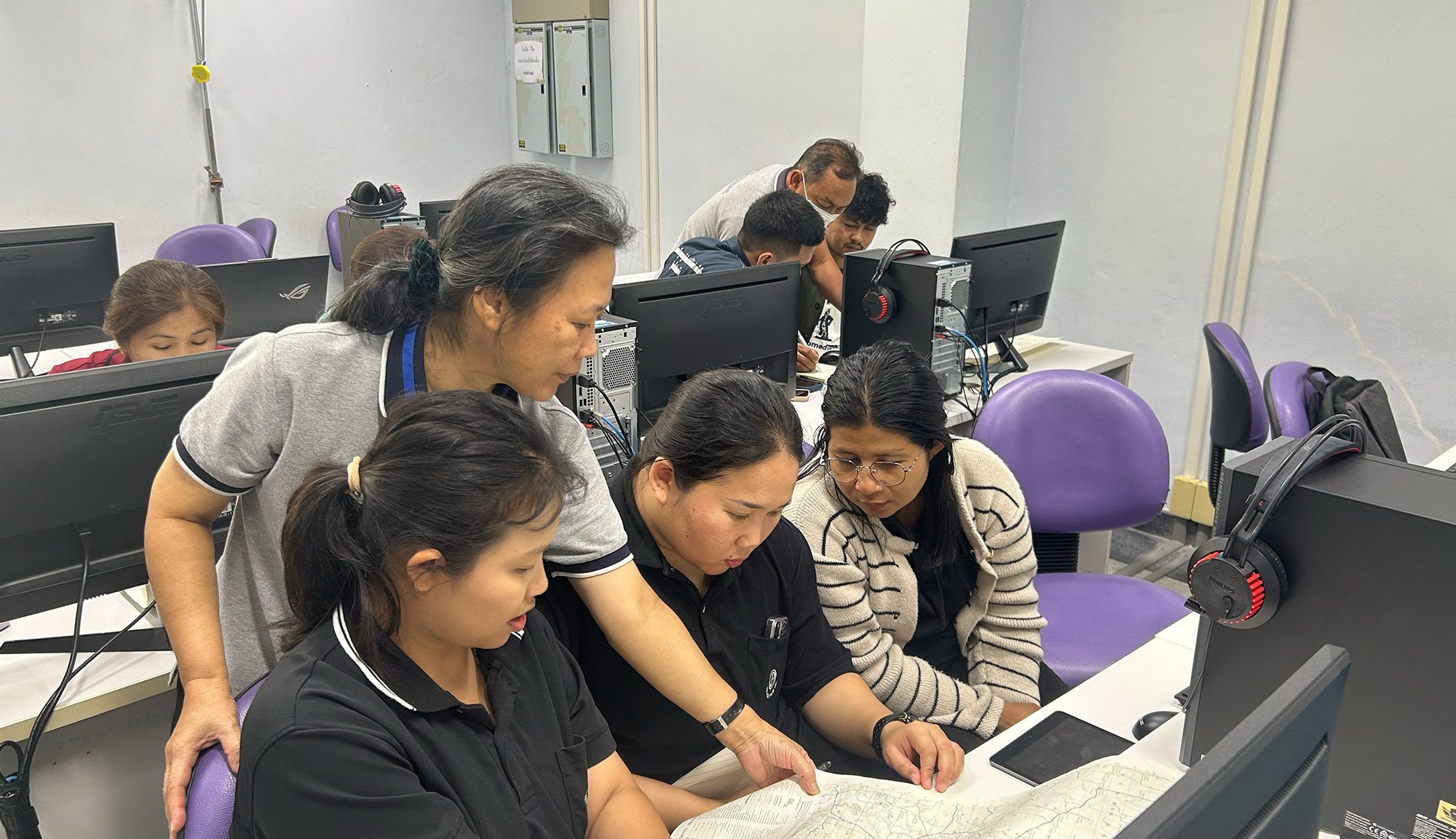
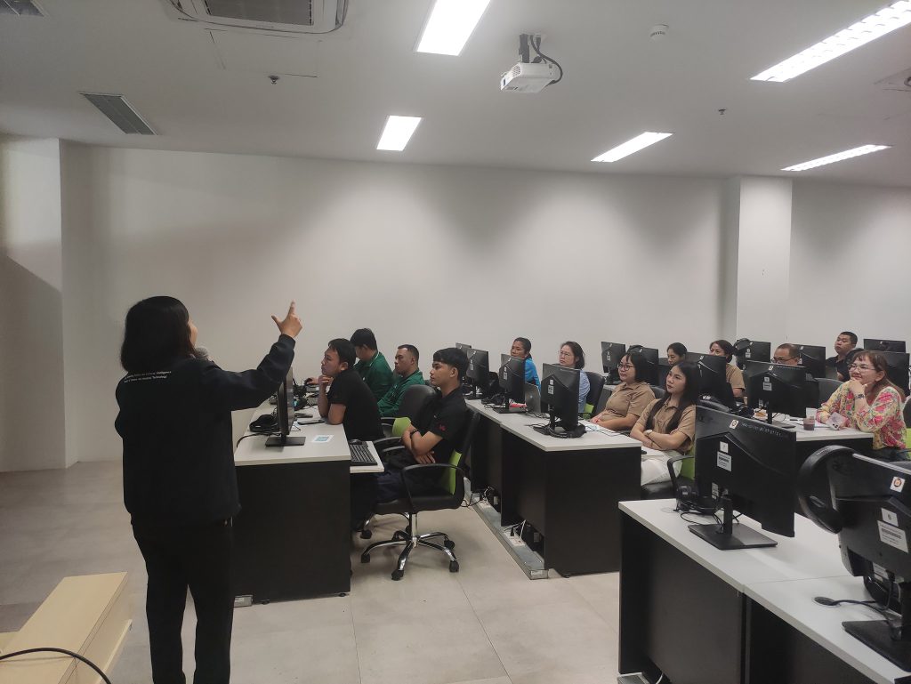
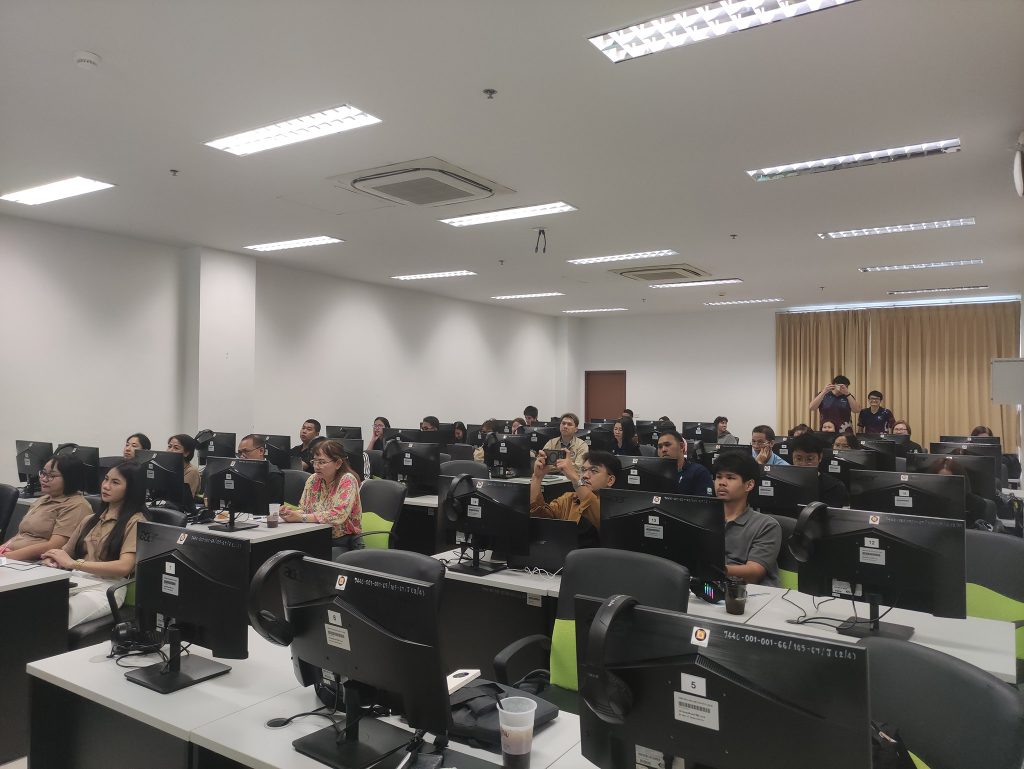
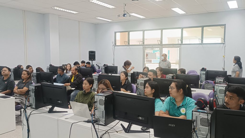
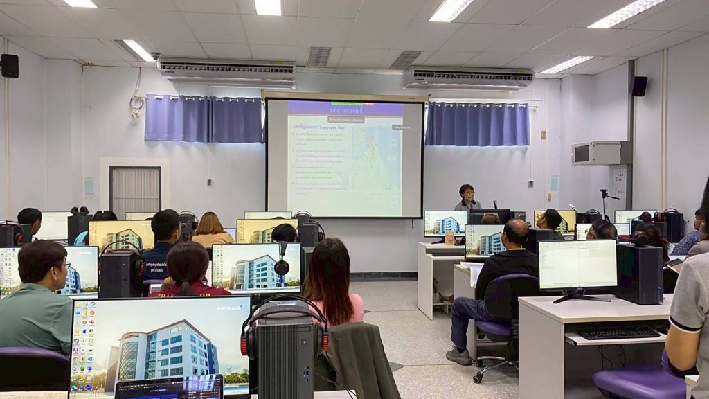
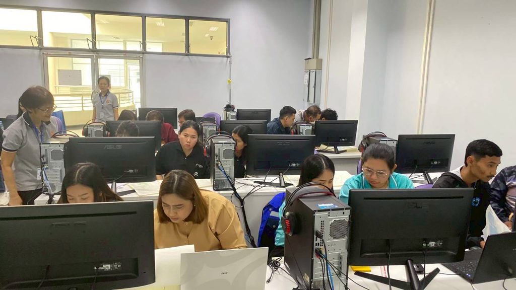
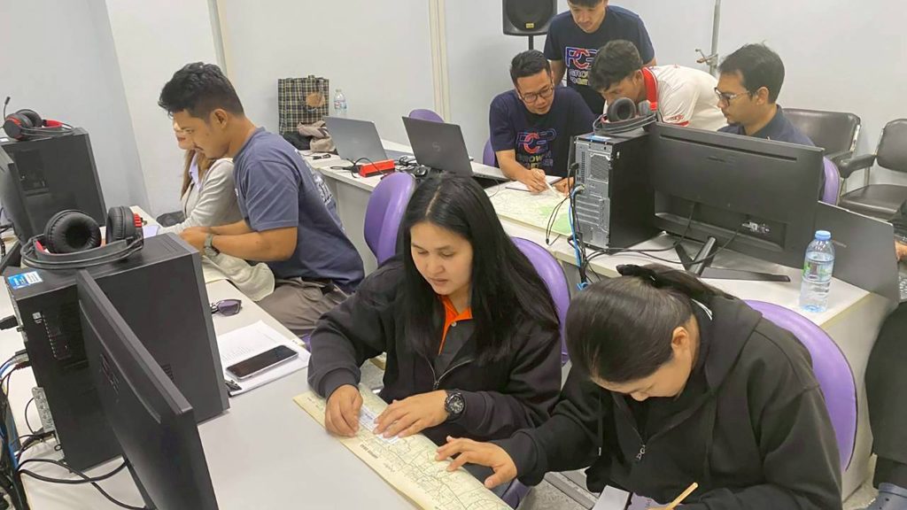
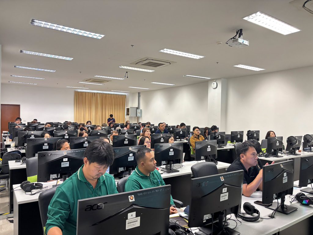
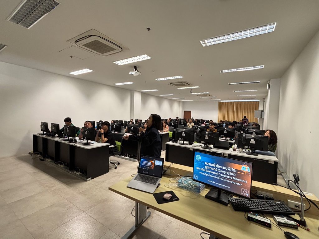
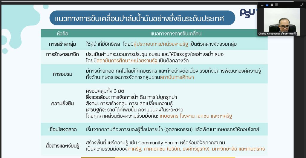
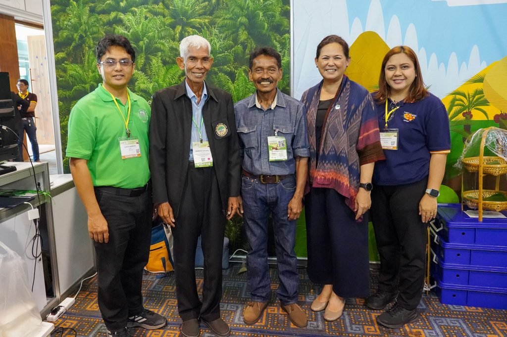
Trang and Surat Thani, 27 February 2026: RSPO Thailand, in collaboration with Prince of Songkla University (PSU) under a formal Memorandum of Understanding (MoU), successfully implemented the “Development of Geographic Information System (GIS) Tools for RSPO Thailand Members Guidance” programme at PSU the Trang and Surat Thani campuses and online platform. The primary objective of this initiative was to ensure member readiness for the RSPO Principles and Criteria (P&C) 2024, specifically Indicators 2.3.1 and 2.3.2, as well as Principle 4 of the RSPO Independent Smallholder (ISH) Standard, which focuses on environmental responsibility and land use, to accommodate the EUDR (European Union Deforestation Regulation) as well. The training sessions targeted a specialised group of more than 100 participants, including technical and information officers from Independent Smallholder groups, medium-to-large-scale growers, Independent Palm Oil Mills (IPOM), and others, aiming to enhance the accuracy of geolocation data and Land Use Change Analysis (LUCA) processes in accordance with rigorous international requirements.
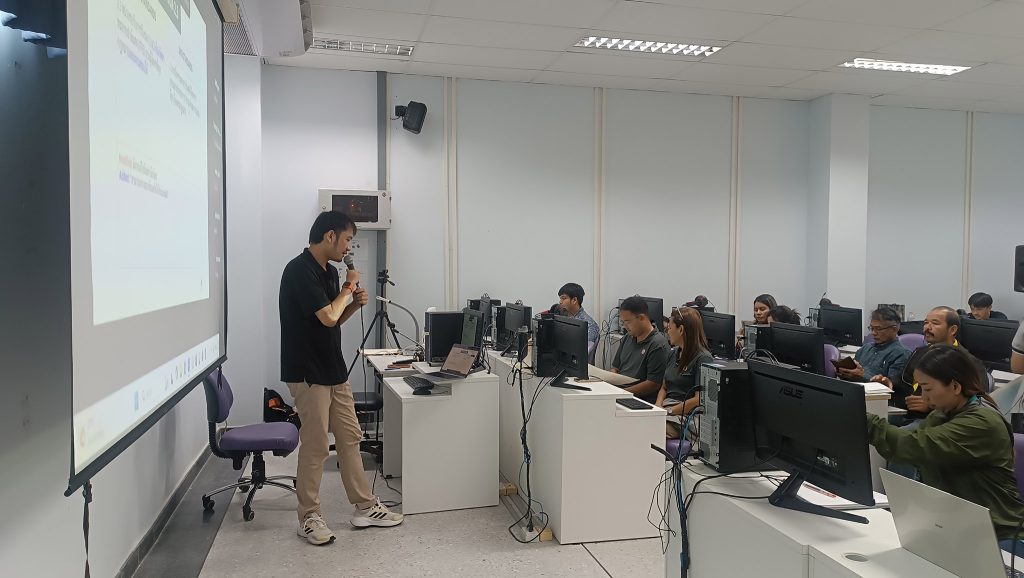
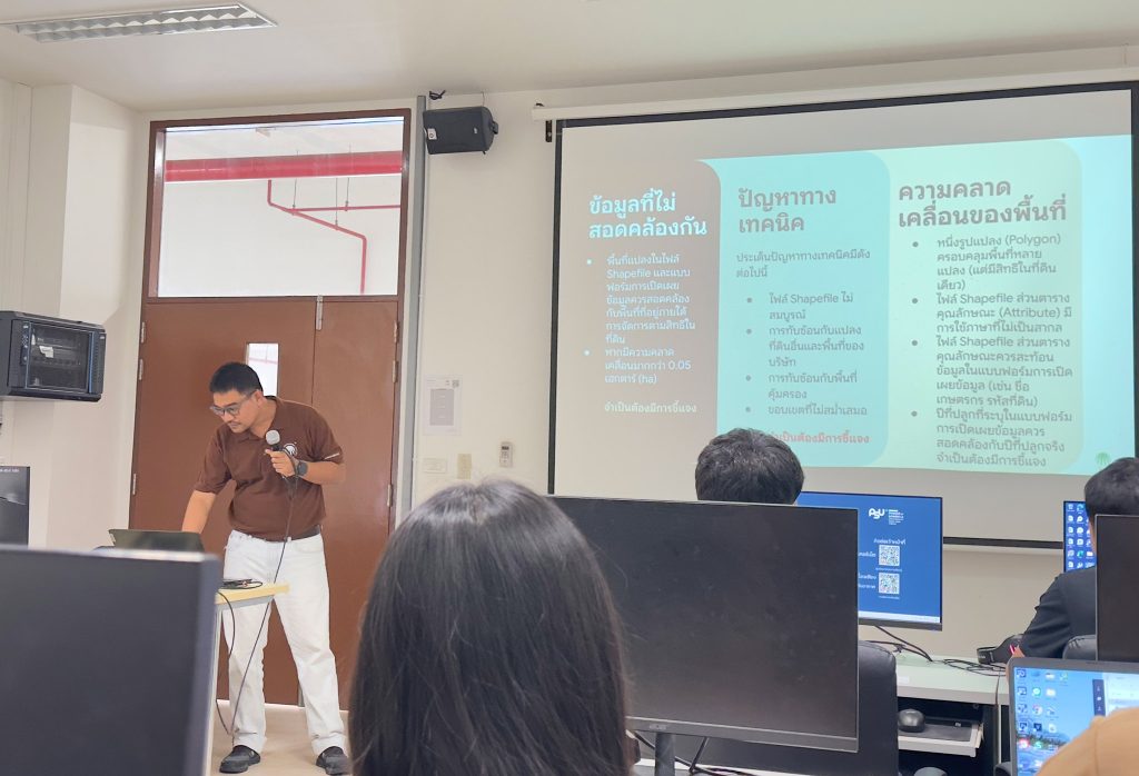
The intensive practical sessions focused on rectifying common technical errors previously identified in GIS data submissions to the RSPO, such as incomplete attribute data, the use of local scripts, and the submission of obsolete forms. The training curriculum guided participants through a comprehensive workflow, beginning with data verification via the GeoRSPO platform, followed by field data collection using the Ling application or Google Earth, and culminating in advanced processing within the QGIS software. Participants were trained in precise digitisation and area calculation to ensure a margin of error within 0.05 hectares, and on the necessity of submitting complete Shapefile sets to prevent system compatibility issues. This process is essential for the Remediation and Compensation Procedure (RaCP), particularly for smallholder groups where the standard emphasises context-specific compensation. Furthermore, the training addressed complex challenges such as resolving overlapping boundaries and synchronising attribute tables with member IDs to establish a transparent traceability system from the plantation level through to the mill.
In conclusion, this programme represents a significant milestone in elevating the digital data standards of the Thai palm oil industry, yielding the tangible outcome of 95 skilled professionals now capable of independently managing geolocation and LUCA assessments. This newfound technical capacity directly mitigates the risk of certificate suspension due to spatial data inaccuracies and accelerates the transition towards full compliance with the RSPO 2024 standards. Beyond technical proficiency, the project has established a robust foundation for data governance within the region, fostering international stakeholder confidence and reaffirming RSPO Thailand’s commitment to driving a transparent, traceable, and sustainable palm oil sector that remains resilient and responsible in the long term.
TASPO Partners with Network Allies to Define 2026 Strategy, Aiming to Elevate Thai Palm Oil to “World-Class Sustainable Palm Oil Standard”
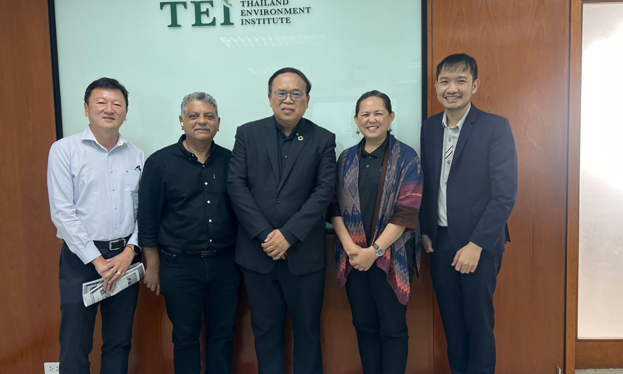
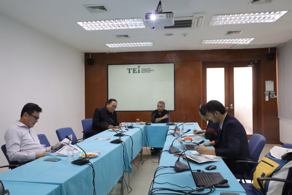
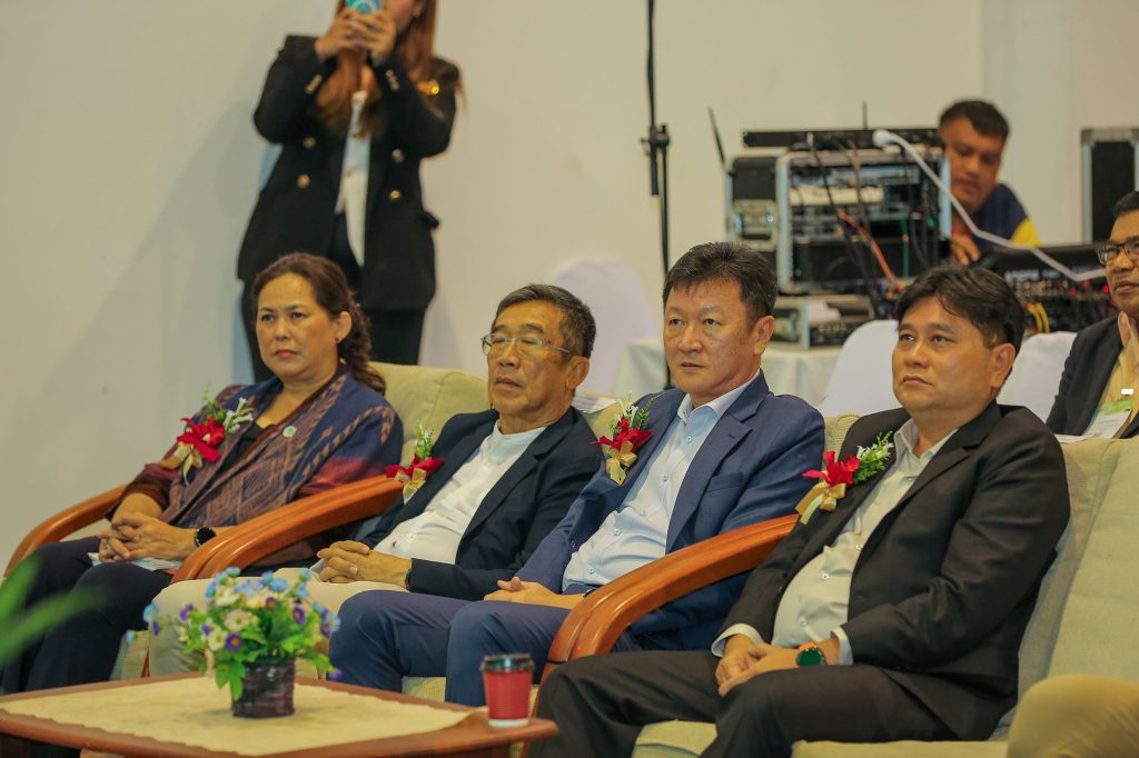
13 February 2026 – The Thailand Alliance for Sustainable Palm Oil (TASPO) held its 1/2026 Committee Network meeting at the Thailand Environment Institute Foundation to gather opinions and define the strategic direction for driving Thailand’s palm oil industry. This is set against the backdrop of challenges posed by international environmental regulations (Global Sustainability Mandates). The meeting established a key operational framework, focusing on policy advocacy at the national level, market linkage, and closing gaps in the supply chain system for genuine sustainability.
Dr. Wijarn Simachaya, Director of the Thailand Environment Institute and Secretary of the TASPO, stated that the drive in 2026 would mark a transition from “Awareness” to “Best Practices.” TASPO will concentrate on preparing all stakeholders to cope with stricter international trade measures, such as the European Union Deforestation Regulation (EUDR) and the new RSPO Standards (2024 Standards). Furthermore, the focus will be on creating added economic value alongside maintaining environmental stability.
The core agenda of the meeting comprised four main strategies:
1. Evidence-Based Policy Advocacy
The committee agreed to use the Policy Brief from the Palm Oil Research and Innovation Institute, Prince of Songkla University, as a foundation for promoting critical issues. These include managing appropriate planting area zoning, establishing a centralised monitoring system for palm oil stock, and encouraging the government to pioneer a “Green Procurement” policy to create domestic demand for certified products.
2. Integrated Supply Chain Model to Reduce Gaps
To address the leakage of RSPO-certified produce from smallholder farmers, the meeting proposed the “Triple-Partnership Model” (Farmer-Dealer-Mill). This model aims to elevate the “dealer” to meet standard requirements through three pilot formats: the Credit-based Model in collaboration with Wild Asia, the Krabi Provincial Co-operative Model, and the Action Research Model with Walailak University, all designed to build confidence in the traceability system.
3. Market Intelligence & Branding
TASPO plans to conduct a Scoping Study to deeply analyse the potential and opportunities for Thai sustainable palm oil on the global stage. The objective is to build the “Thai Palm Prime” brand, elevating the country’s image from an exporter of commodity goods to a producer of traceable, premium-quality products. They are also preparing a bilingual (Thai and English) “Best Practices Coffee Table Book” to serve as a communication tool and a presentation piece for international partners.
4. Network Strengthening
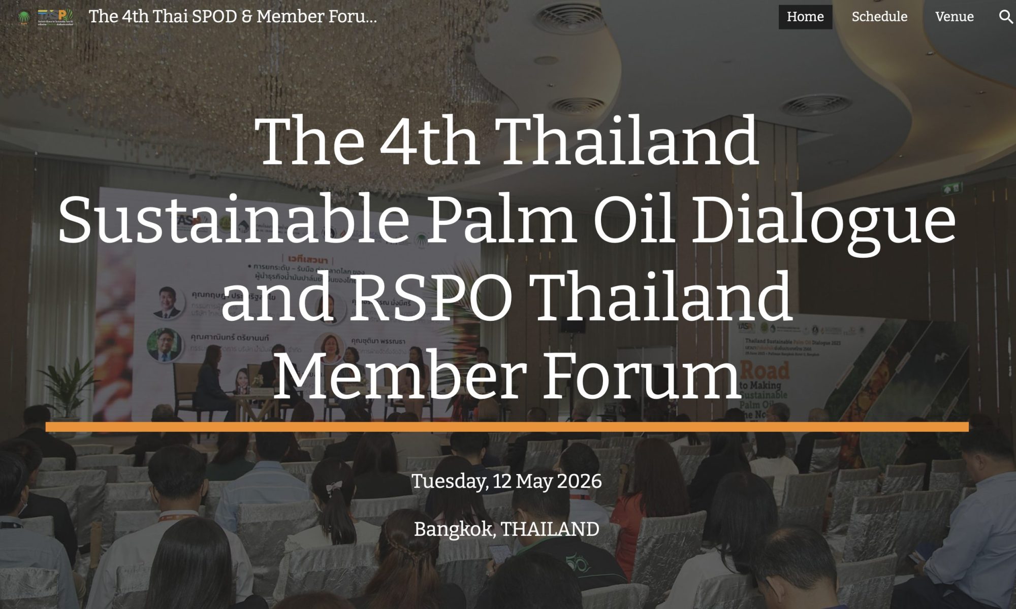
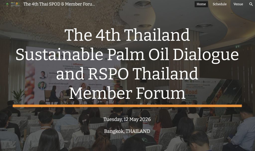
The meeting scheduled major annual events, namely the 4th Thailand Sustainable Palm Oil Dialogue and the 4th RSPO Thai Member Forum, during the second quarter of 2026. These events will serve as a central platform for the exchange of knowledge and technology between government, private sector, and academia, emphasising “Shared Responsibility” throughout the supply chain.
Mr. Assnee Mallumphut, TASPO Chairman, concluded and underscored that, “The future success of Thai palm oil does not depend solely on the volume of produce, but on its “Quality” and “Sustainability” which must be traceable. TASPO’s combined effort is a critical step that will transform the challenges of international regulations into a competitive opportunity for Thailand in the global market.”
RSPO Spotlights Northeast Thailand as New Frontier for Sustainable Palm Oil
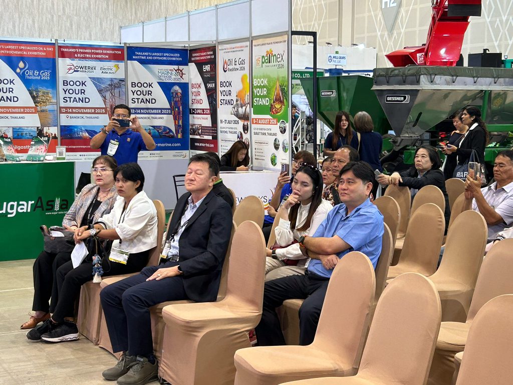
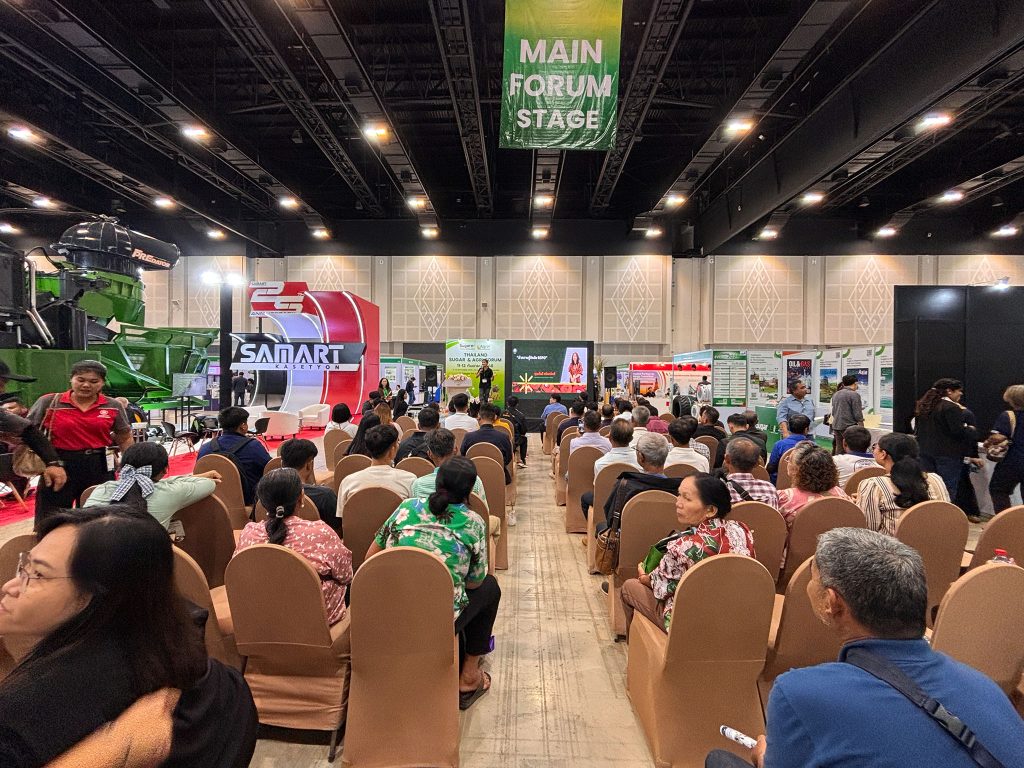
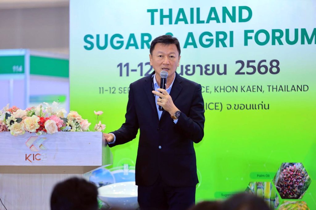
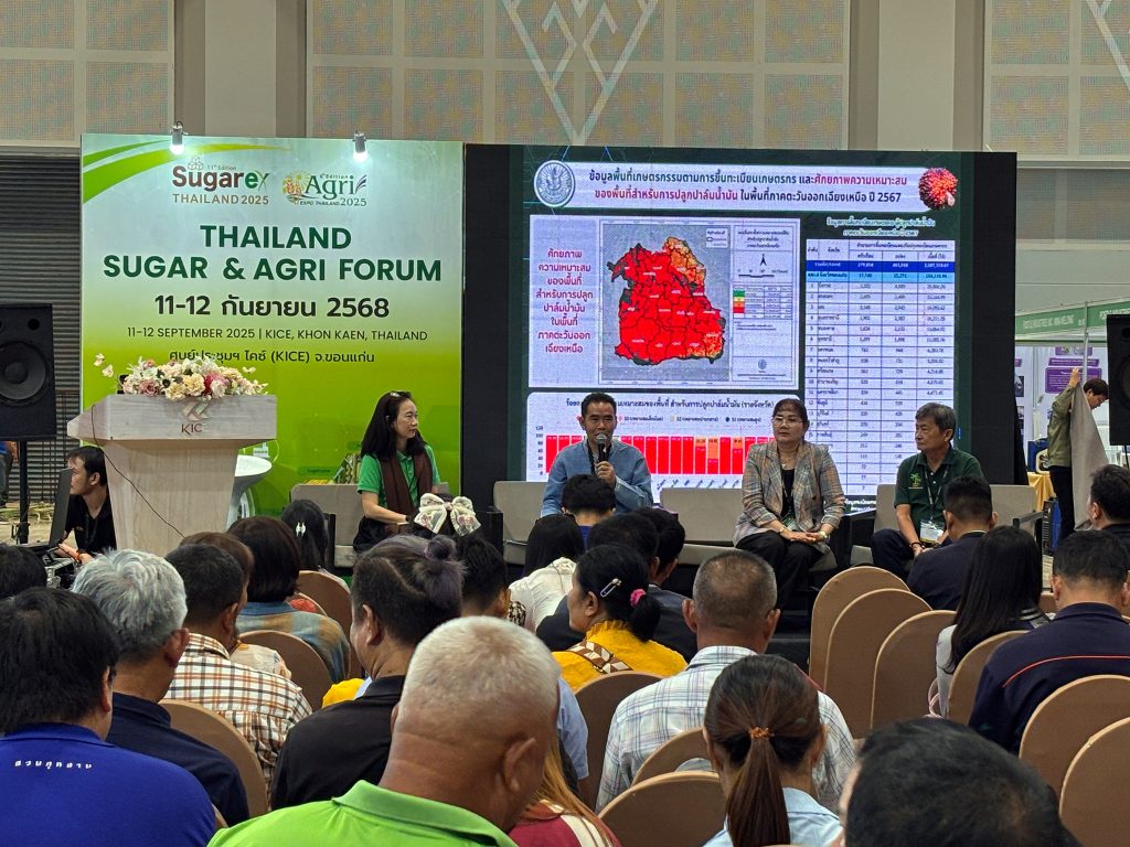
KHON KAEN, 11-12 September 2025 – The Roundtable on Sustainable Palm Oil (RSPO) Thailand has highlighted its commitment to supporting the nation’s palm oil farmers by spearheading a strategic push to expand certified sustainable cultivation into Northeast Thailand. The initiative was launched at SUGAREX Thailand 2025, held from 11-12 September at the KICE Convention Centre in Khon Kaen. The international event served as a key platform for the RSPO to engage with farmers and industry stakeholders, using an exhibition and a series of expert-led discussions to build momentum for sustainable practices in the region.
From proven models to practical support, the knowledge-sharing sessions brought together influential voices from both the private and public sectors to create a clear pathway for farmers. Kraiwut Sirianuntapat, President of the Palm Oil Crushing Mill Association and Managing Director of S.P.O. Agro-Industries, shared a private-sector perspective on supporting smallholders. His talk, “Global Palm Oil Insights & Private Sector Farmer Support,” outlined a successful model for helping farmer groups achieve and maintain RSPO certification. This was complemented by the view from the government, with Nipha Songrit, the Department of Agricultural Extension. Her presentation on “Promoting Sustainable Palm Oil Production” detailed the official policies and support mechanisms available to farmers, building confidence and clarifying the steps towards certification.
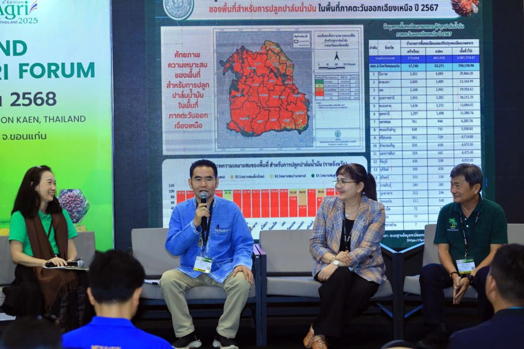
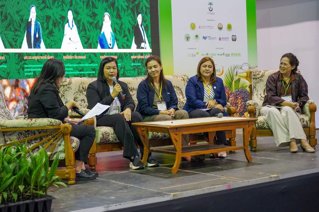
The event culminated in a panel discussion titled “The Future of Thai Palm Oil: Farmer Livelihoods and Sustainability.” The session brought together key regional stakeholders to address a critical issue: while Northeast Thailand has significant potential for palm oil cultivation, it currently has no RSPO-certified areas. The panel concluded that this presents a “strategic challenge” requiring close collaboration between all parties to unlock the region’s potential. Moderated by RSPO Thailand’s Smallholder Manager, Wandee Krichanan, the panel featured key regional voices, including Kamol Sopat (Director, Office of Agricultural Extension and Development, Regional 4th), Sukanya Srisubat(Representative, Farmer Mentor Network), and Sura Tunwiset (Promotion Manager, Suksomboon Palm Oil Co., Ltd.).
This initiative was more than an awareness campaign; it laid the groundwork for a collaborative effort to drive the growth of a high-quality, internationally recognised palm oil industry in Northeast Thailand.
SONGKHLA, 27 August 2025: The Songkhla Provincial Administrative Organisation (Songkhla PAO), in collaboration with Prince of Songkla University (PSU) and RSPO Thailand, hosted a crucial training session today for local farmers. The programme, titled “Getting Ready for Sustainable RSPO Certification,” was designed to equip farmers with the knowledge and tools needed to elevate their palm oil production to international standards. Over 100 farmers, local residents, and government officials attended the event at the Laguna Grand & Spa Hotel. The main objective was to help farmers produce high-quality, distinctive products that meet international standards. Participants engaged in a lively discussion to find new ways to help Songkhla’s oil palm industry achieve RSPO certification, a global benchmark for sustainable palm oil.
Mr. Amnoy Pinasuwan, Deputy Chief Executive of the Songkhla PAO, opened the event by highlighting the provincial policy to support palm oil, a key economic crop. He noted that as more farmers switch to growing palm oil, RSPO certification offers a great opportunity to improve productivity and the quality of life for farming communities. Academic experts from Prince of Songkla University also provided key insights. Assoc. Prof. Kamron Pitak from the PSU Science Park shared information on technological support for cultivation and other training needed for RSPO compliance. Meanwhile, Assoc.Prof.Dr.Benchamaporn Pimpa from the Faculty of Agricultural Innovation, Fisheries and Food (PSU, Surat Thani Campus) lectured on “The Application of RSPO Standards for Smallholders and Research Planning.” Her research team has secured funding for a project called “Integrated Sustainable Palm Oil Production for Songkhla Provincial Administrative Organisation Farmers,” which aims to boost farmers’ potential and create stronger links between farmers, buyers, and local mills. Representatives from RSPO Thailand also gave an in-depth overview of the organisation and explained the certification process and requirements. Two certified independent smallholder group leaders, Ms.Oraphan Pripol and Mr.Saraworn Yaotuk, shared their firsthand experiences in group management and farming practices, offering practical lessons to the attendees. In the afternoon, farmers broke into groups by district for an intensive brainstorming session. They analysed their local conditions, set goals, and created action plans to build momentum towards RSPO certification. The overwhelming consensus was that Songkhla’s farmers are highly prepared and committed to achieving this important standard.
Following the training, the Songkhla PAO will officially begin a recruitment drive for interested and ready farmers. The goal is to work with all relevant sectors to help Songkhla become a leading province for sustainable palm oil production in Thailand.
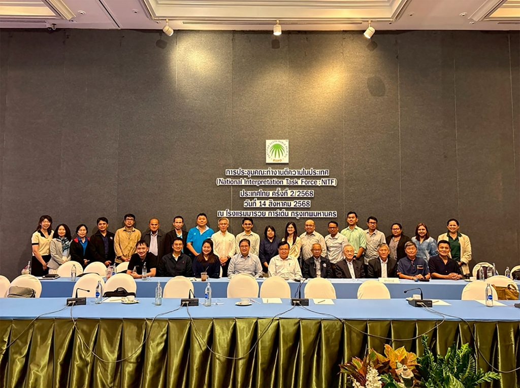
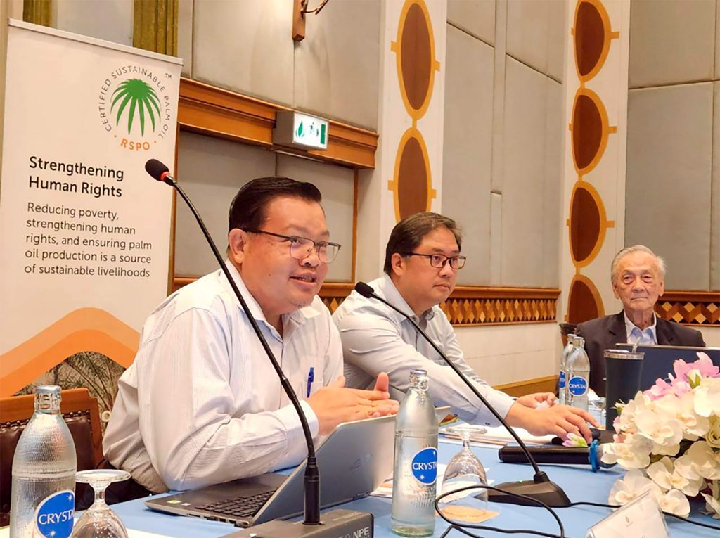
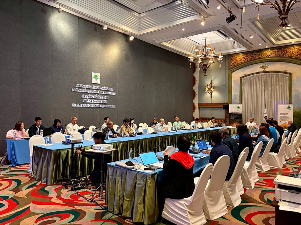
Thai National Interpretation Task Force Convenes to Contextualise 2024 RSPO Sustainable Palm Oil Standards
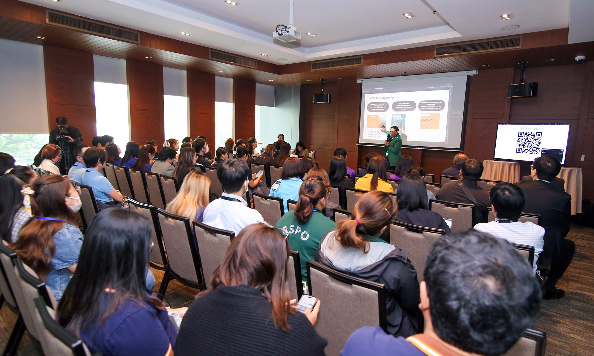
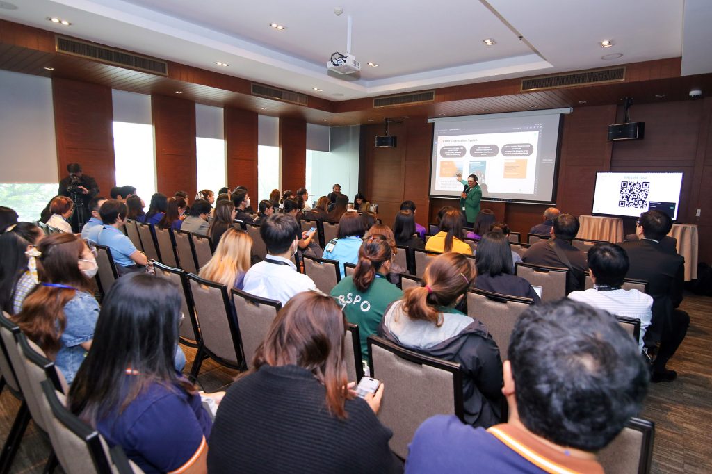
BANGKOK, 14 August 2025 – The National Interpretation Task Force (NITF) of Thailand convened a workshop to deliberate on the national interpretation of two new standards from the Roundtable on Sustainable Palm Oil (RSPO). The standards—the RSPO Principles & Criteria (P&C) 2024 and the RSPO Independent Smallholder (ISH) Standard 2024—are set to be formally implemented on 13 November 2025. The primary objective of the session was to synthesise clear and practical implementation guidelines for stakeholders in Thailand, ensuring that the interpretation and application of the standards are accurate and aligned with the nation’s legal and social frameworks.
The task force, comprising a comprehensive range of stakeholders from across the palm oil supply chain—including medium and large-scale growers, independent smallholders, refiners, and processors, as well as representatives from the financial sector and environmental and social non-governmental organisations—collaborated to interpret key indicators within the new standards. The deliberations focused on aligning these indicators with domestic laws and regulations. Key areas of discussion included: legal frameworks related to business ethics and conduct, laws governing land tenure and use rights, traceability requirements for Fresh Fruit Bunches (FFB), procedures for Social and Environmental Impact Assessments (SEIAs) for new plantings, application of Good Agricultural Practices (GAPs) to enhance productivity, human rights risk assessment and due diligence, regulations on the use of chemical pesticides, best practices for replanting on steep terrains, and management of water resources and effluents. The workshop’s methodology involved presentations on relevant Thai legal provisions for each topic, followed by robust discussions informed by the operational experiences of the participants. Critically, the session also incorporated perspectives from subject-matter experts and auditors to help establish a harmonised interpretation between auditing bodies and auditees, ensuring mutual understanding and legal compliance.
Following the workshop, the NITF will synthesise the collected feedback to formulate a ‘Draft National Interpretation’ for both standards. This draft will then be subject to a Public Consultation period before the final version is compiled and submitted to the RSPO Secretariat for formal endorsement.
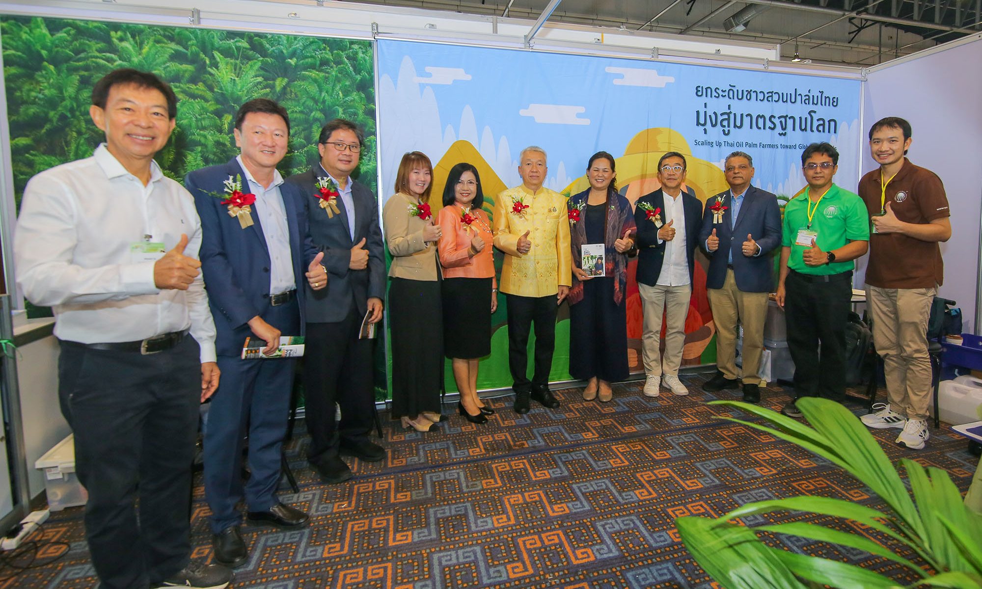
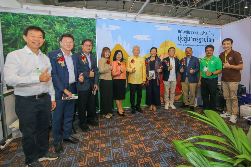
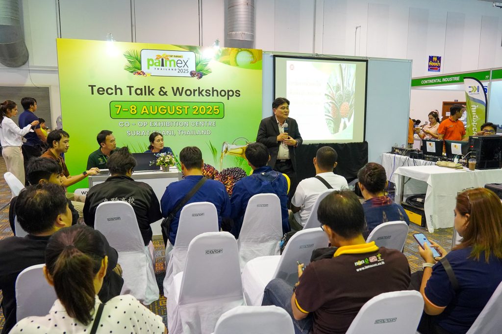
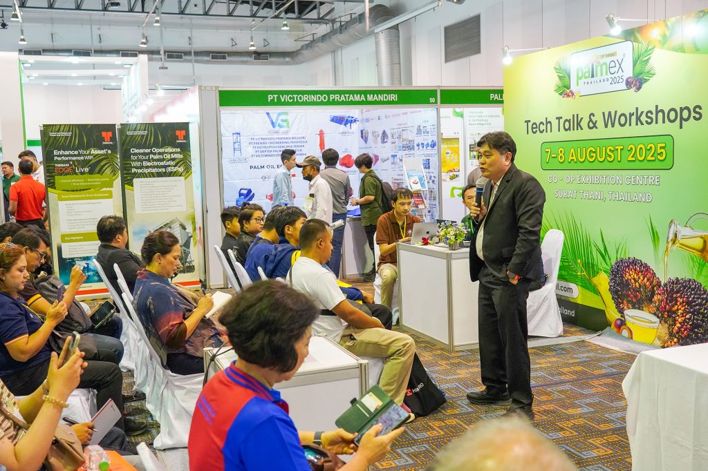
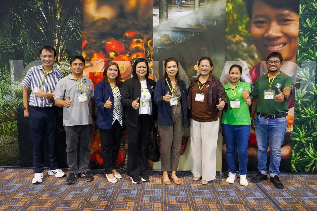
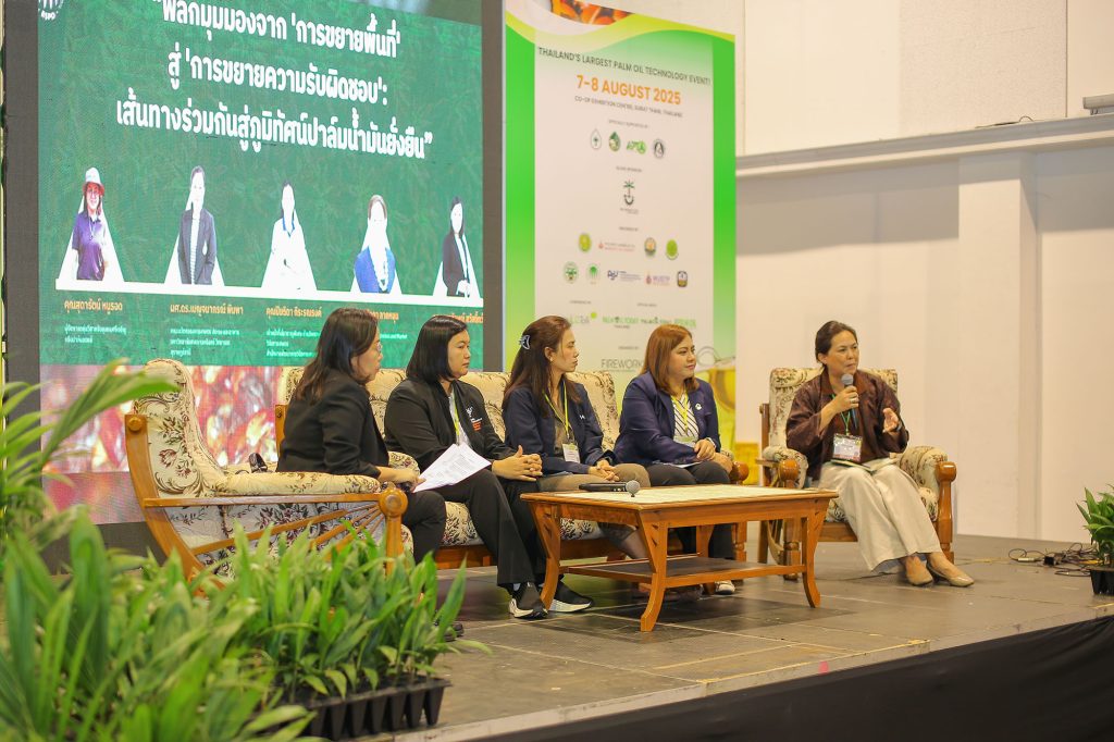
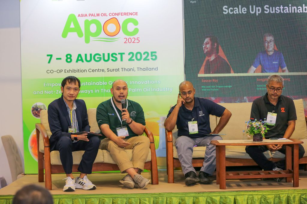
SURAT THANI, 7-8 August 2025 – The Roundtable on Sustainable Palm Oil (RSPO) Thailand played a principal supporting role at PALMEX Thailand 2025, an event organised by the Thai Oil Palm and Palm Oil Association in collaboration with Firework Media Ltd. Held at the CO-OP International Convention and Exhibition Centre in Surat Thani, the event served as an integrative international platform, connecting stakeholders from the entire palm oil supply chain, from upstream cultivation to downstream industries, to collaboratively shape the sector’s future.
In its capacity, RSPO Thailand was instrumental in advancing the sustainability agenda through a variety of engagements. The RSPO exhibition booth garnered significant interest from attendees, providing critical information and fostering a deeper understanding of global sustainable palm oil standards. Furthermore, RSPO co-organised several academic forums to facilitate knowledge exchange across key dimensions of the industry. A series of special speakers presented crucial insights and policy perspectives:
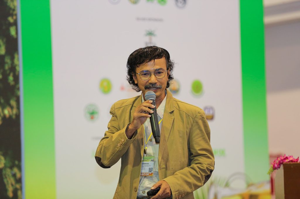
A special speech titled “Enhancing Palm Oil Production Efficiency in Constrained Areas through Precision Fertiliser Management” by Mr.Supachai Jintanalert, shared innovations and applied research outcomes aimed at improving agricultural productivity.
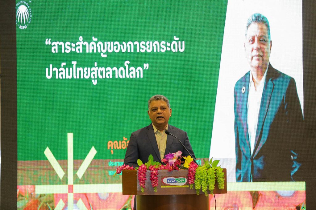
A marketing perspective was offered in the session “The Essence of Elevating Thai Palm Oil to the Global Market” by Mr.Asanee Mallamphut, who emphasised the imperative of stable and sustainable growth over rapid, less resilient expansion.
Ms Sinthu Kaewsin delivered a presentation on “Weaving Sustainability: Connecting Farmers to Global Trade Regulations,” which articulated the role of governmental agencies in leveraging science, research, and innovation to bolster the Thai palm oil industry’s competitive capabilities.
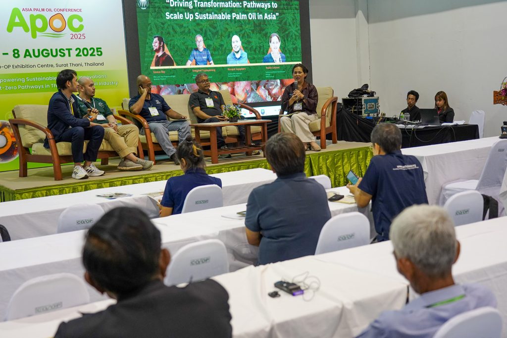
Panel discussions provided a forum for emerging paradigms and future-oriented discourse. A session titled “From Acreage to Accountability: A Shared Journey in Expanding RSPO-Certified Area” featured esteemed speakers from the farming community, academic institutions, research agencies, and the RSPO. The dialogue crystallised the concept that true sustainability is contingent not on the expansion of cultivation areas, but on the expansion of “shared responsibility” among all societal actors. Concurrently, the Asia Palm Oil Conference (APOC) 2025 hosted a panel on “Driving Transformation: Pathways to Scale Up Sustainable Palm Oil in Asia,” which convened international and Thai experts to analyse the potential and strategic pathways for Thailand to achieve a leadership position in the global sustainable palm oil market.
Conclusively, RSPO’s participation in PALMEX Thailand 2025 reaffirmed the conviction that the collaborative synergy of all stakeholders is the essential mechanism for elevating the Thai palm oil industry to international standards. The principle of “shared responsibility” was identified as the cornerstone for Driving Thailand’s Pathway to Premium Sustainable Palm Oil Excellence.
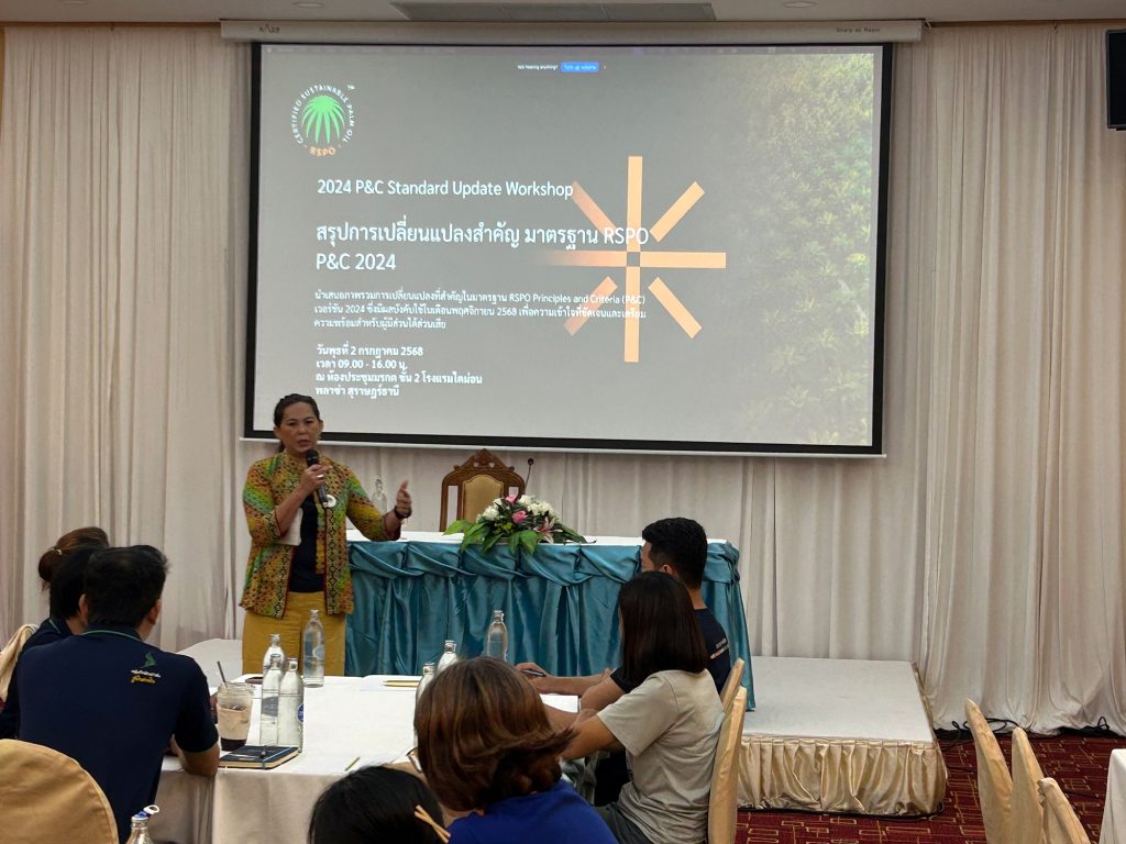
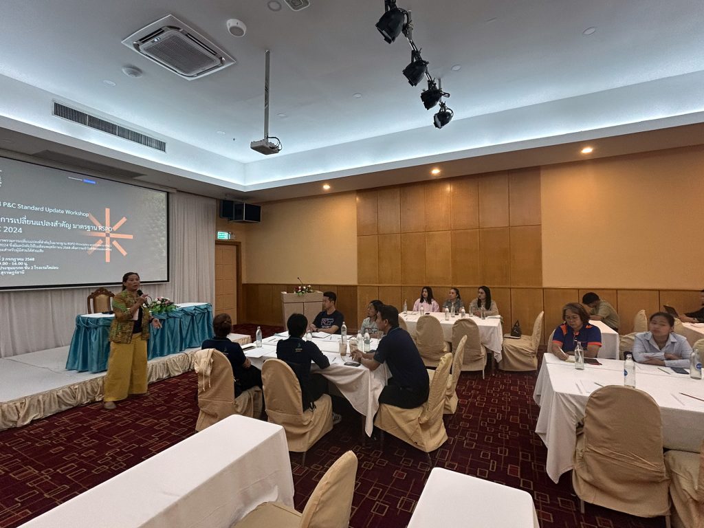
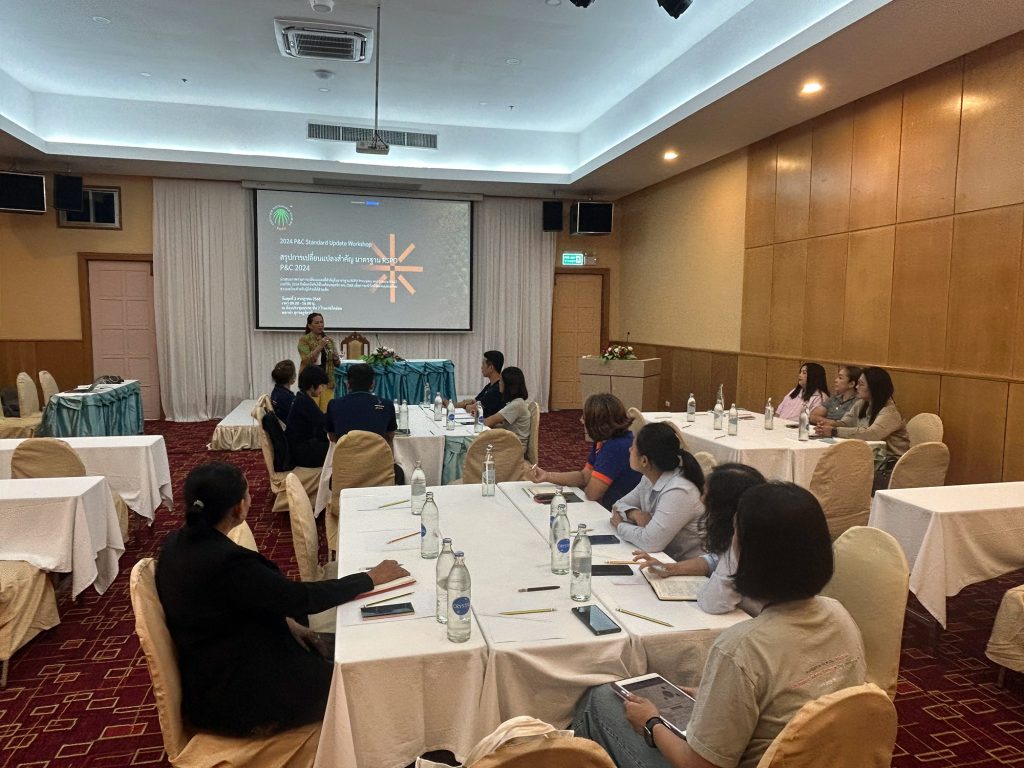
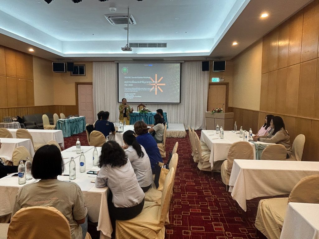
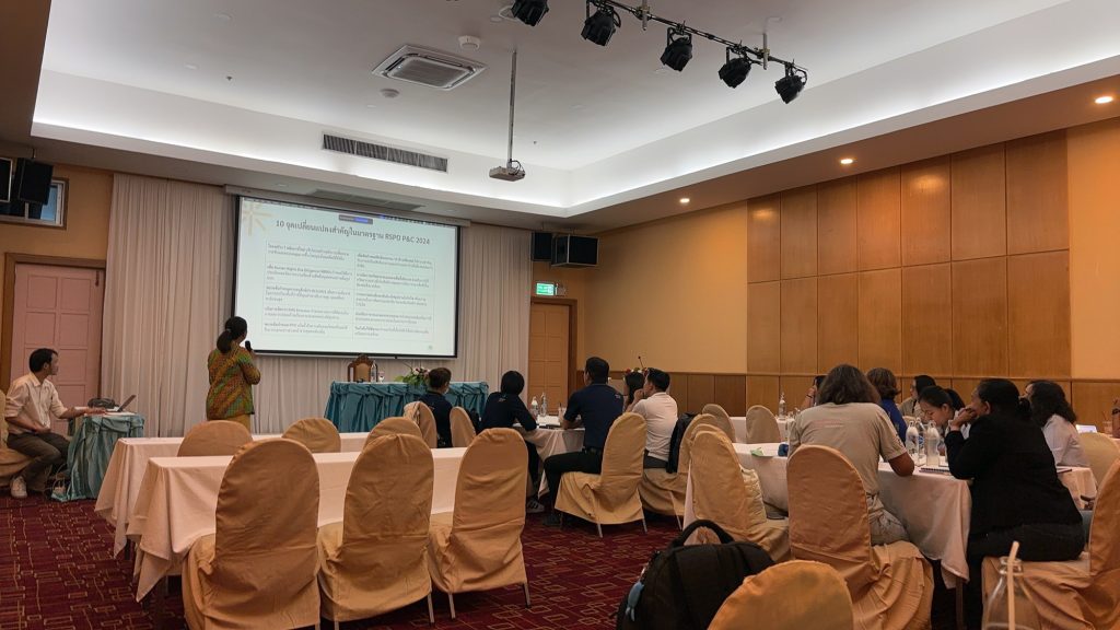
RSPO Thailand Hosts Workshop for 2024 P&C Standard Update: Enhancing Awareness and Preparedness for Sustainable Palm Oil Certification
“2024 P&C Standard Update Workshop” Fosters Knowledge Exchange on New Sustainable Palm Oil Standard
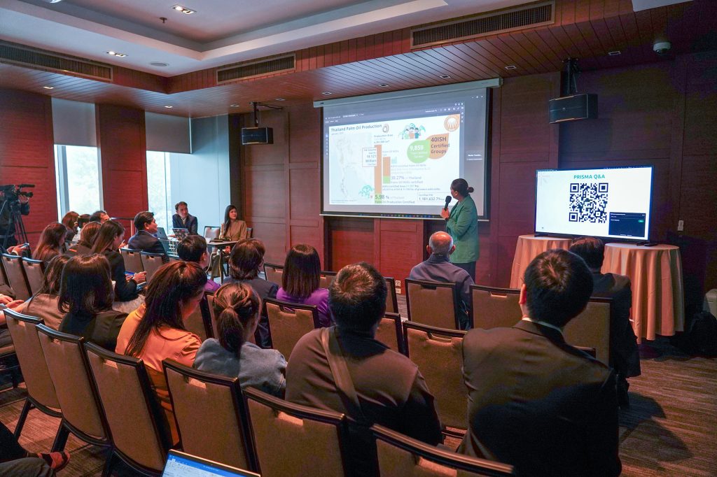
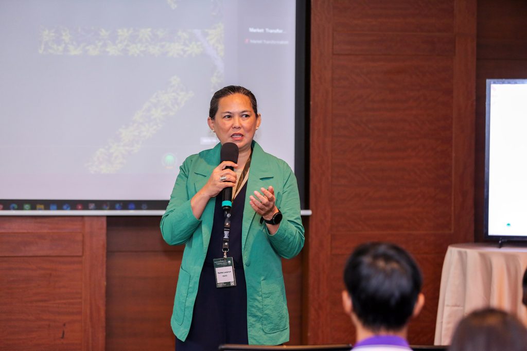
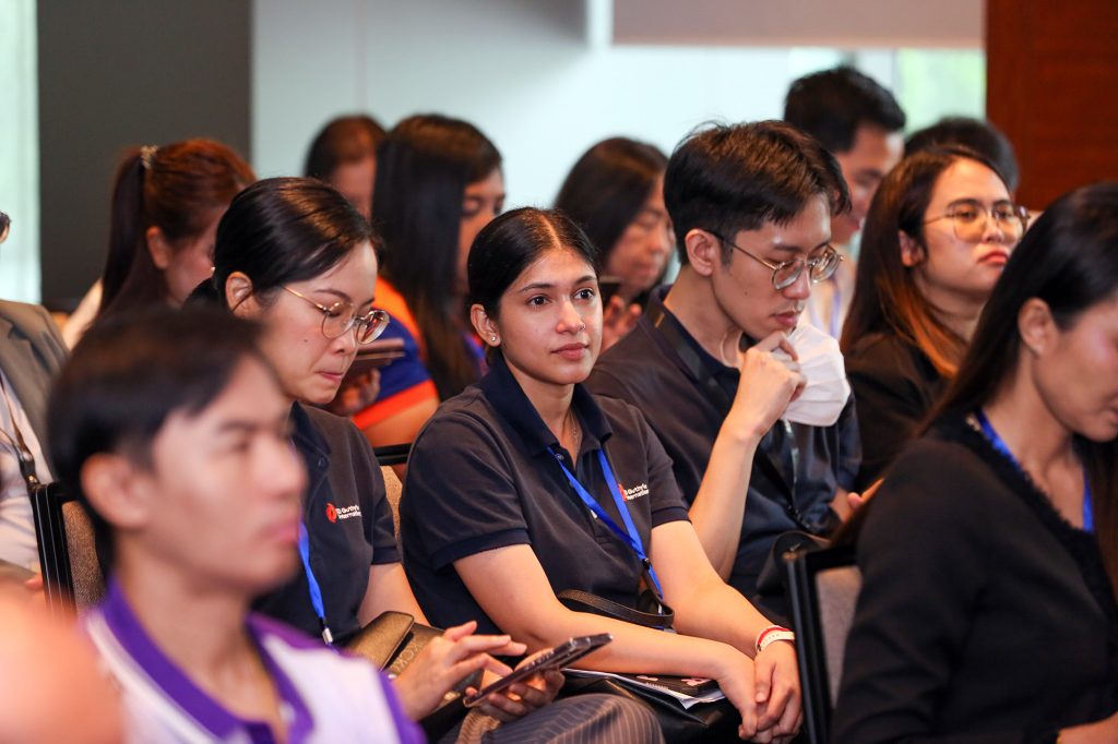
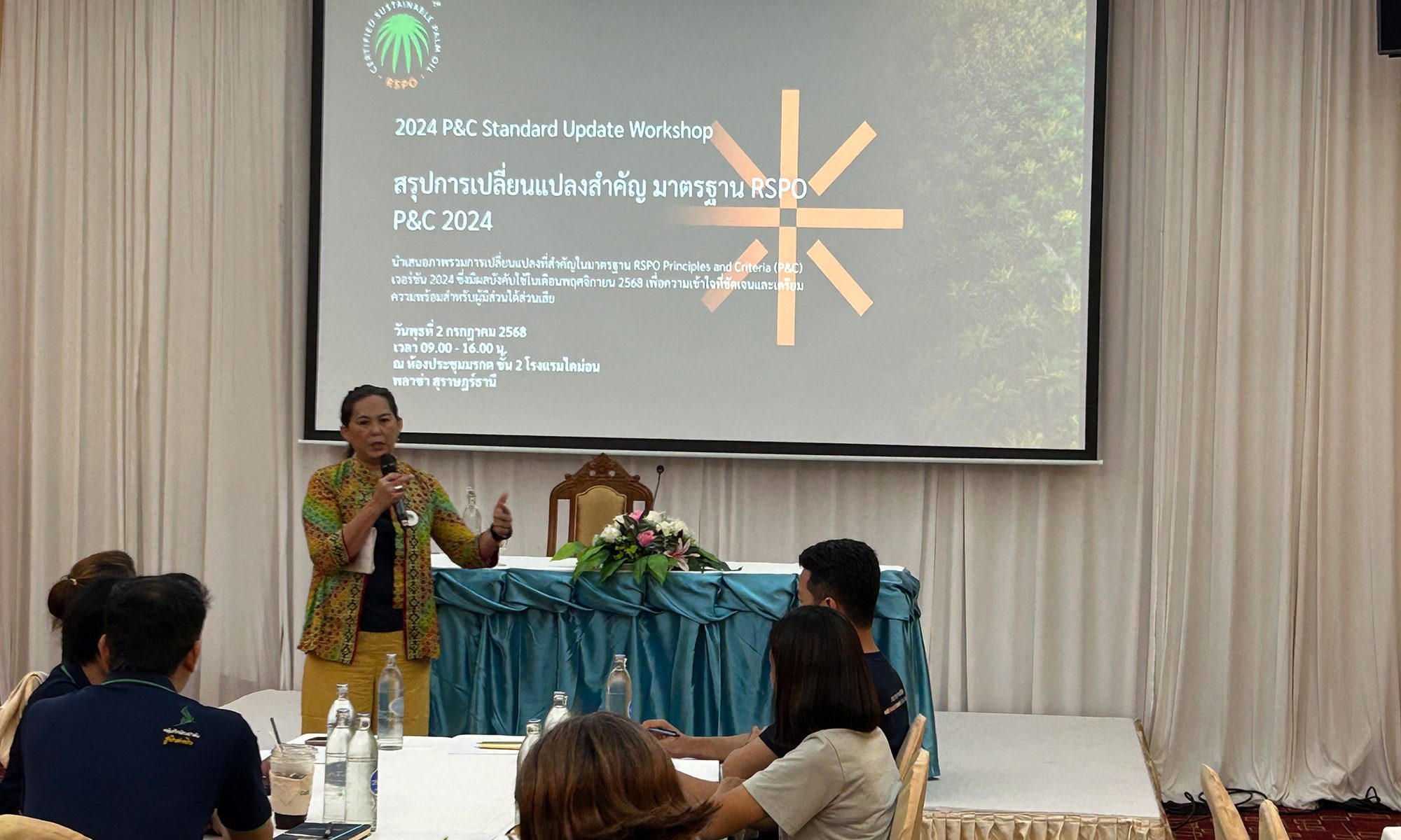
SURAT THANI, Thailand – 2 July 2025 – RSPO Thailand successfully held a workshop titled “2024 P&C Standard Update Workshop” at the Busarakam Meeting Room, Diamond Plaza Hotel. The primary objective of this event was to cultivate understanding and readiness among medium and large-scale palm oil growers regarding the forthcoming 2024 Principles and Criteria (P&C) Standard. The aim is to enable these growers to effectively implement the updated standard for sustainable palm oil cultivation in accordance with RSPO guidelines. Furthermore, the workshop served as a crucial forum for exchanging experiences and feedback on the new standard, establishing a vital foundation for the subsequent National Interpretation (NI) process. The assembly included representatives from prominent medium and large-scale palm oil growing organisations across Thailand.
The workshop commenced with a presentation by Radda Larpnun, Technical and Market Transformation Manager of RSPO Thailand. She provided comprehensive information on the draft of the new P&C Standard, which is scheduled for official implementation on 13 November 2025. This included detailed explanations of changes to key indicators, ensuring participants fully grasped the rationale behind these revisions. Moreover, attendees were given the opportunity to delve into the specifics of the indicators across all seven principles of the new standard. This fostered a thorough understanding and facilitated robust discussions on the practicalities of implementation within the Thai context. These discussions are particularly significant as they will directly inform the National Interpretation process, set to be undertaken by Thailand’s dedicated National Interpretation Task Force (NITF) in the near future. Preliminary discussions also took place regarding the selection of representatives from medium and large-scale growers to join this crucial NITF.
Following this workshop, RSPO Thailand will maintain close collaboration with medium and large-scale farmer groups. This sustained engagement aims to jointly enhance the value of Thailand’s sustainable palm oil, ensuring it meets world-class quality standards. This commitment encompasses providing operational support, fostering knowledge creation, and coordinating collaborative efforts throughout Thailand’s palm oil supply chain and the global market.